North Halifax Grammar School

This was the very first map I made. It's the Sixth Form I went to, North Halifax Grammar School, and the PE teachers were thrilled that they had an accurate map to use for orienteering lessons in PE. However, an orienteering map can be used for so much more. There has been an increasingly popular campaign to get children learning in the outdoors, and using an orienteering map is the perfect way to achieve this. Organisations such as The Outdoor Classroom can now provide ways to bring lessons such as Maths, Science, and English into the outdoors.
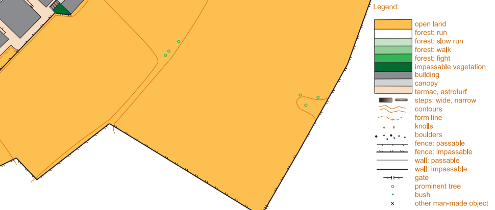
The map uses a 1:5,000 scale, because in this case the playing fields are rather large, but most schools can be mapped at 1:4,000 which allows for better readability of the more detailed areas. The symbols follow the International Orienteering Federation's standards for urban/sprint maps, which are explained on the map as shown below.

If you are interested in getting your school mapped, please do reach out to me: hello@alasdairpedley.com
